info@nielsonngr.com  ​+234 (0) 803-551-8988

Nielson Limited

Comprehensive Surveying Services

At Nielson Nigeria Limited, we pride ourselves on delivering Comprehensive Surveying Services that meet the highest standards of precision, reliability, and efficiency. Our surveying solutions are tailored to support a wide range of industries, providing the critical data needed for successful project execution and decision-making.

Our Surveying Services Include:

1 . ​​Land and Boundary Surveys

  • Accurate determination of property lines and boundaries.
  • Preparation of legally recognized documentation for land ownership and disputes.

2 . ​​Topographic Surveys

  • Detailed mapping of land features, contours, and elevations for planning and design purposes.
  • Essential for infrastructure development, site planning, and environmental assessments.
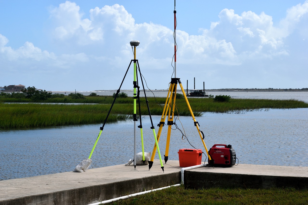
3 . ​Engineering Surveys

  • Support for construction projects, including layout, leveling, and structural monitoring.
  • Precision surveys for roadways, bridges, pipelines, and other infrastructure.

4 . ​​Geodetic Surveys

  • High-accuracy measurements using advanced techniques for large-scale projects.
  • Establishment of reference points for long-term monitoring and mapping.

5 . ​​Hydrographic Surveys

  • Mapping of underwater features and analysis of water bodies.
  • Crucial for marine construction, port development, and resource management.

6 . ​​​As-Built Surveys

  • Documentation of completed structures to ensure compliance with design specifications.
  • Ideal for renovations, expansions, and quality assurance.

Tools and Technologies We Employ:

Applications of Our Comprehensive Surveying Services:

Why Choose Our Surveying Services?

With Nielson Nigeria Limited, you gain a trusted partner for all your surveying needs. Our comprehensive services ensure your projects are built on a foundation of accurate and dependable data. Let us help you achieve success through precision surveying.